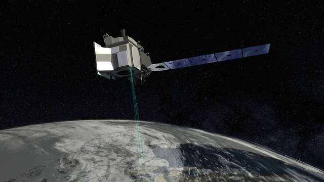
Ice, Cloud, and land Elevation Satellite 2 (ICESat-2)
Site:
Space
ICESat-2 (Ice, Cloud, and land Elevation Satellite 2), part of NASA's Earth Observing System, is a satellite mission for measuring ice sheet elevation and sea ice thickness, as well as land topography, vegetation characteristics, and clouds.
For more see:
Wikipedia on ICESAT-2
Ice, Cloud, and land Elevation Satellite 2 in Helmholtz Imaging CONNECT:
Expert
Helmholtz Imaging Support
Helmholtz Imaging offers support for any imaging challenge, independent of the modality.
If you do not find the expert here you are looking for, please don't hesitate to contact us!
No facility found.
No lab found.
No modality found.
No solution found.

