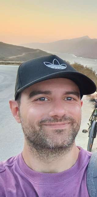
DR. Dimosthenis Traganos
Photogrammetry and Image Analysis Department, Remote Sensing Technology Institute, German Aerospace Agency (DLR)
Project Manager of the Global Seagrass Watch, developing and commercializing calable coastal ecosystem accounting through contemporary remote sensing for impactful natural climate solutions.
Publications
Bahamian seagrass extent and blue carbon accounting using Earth Observation
Blume A, Pertiwi A, Lee C, Traganos D - Frontiers in Marine Science - 2023
Earth observation for ecosystem accounting: spatially explicit national seagrass extent and carbon stock in Kenya, Tanzania, Mozambique and Madagascar
Traganos D, Pertiwi A, Lee C, Blume A, Poursanidis D, Shapiro A - Remote Sensing in Ecology and Conservation - 2022
Spatially Explicit Seagrass Extent Mapping Across the Entire Mediterranean
Traganos D, Lee C, Blume A, Poursanidis D, Čižmek H, Deter J, Mačić V, Montefalcone M, Pergent G, Pergent-Martini C, Ricart A, Reinartz P - Frontiers in Marine Science - 2022
Send mail to Dimosthenis Traganos (Dimosthenis.Traganos@dlr.de)
Dimosthenis Traganos in Helmholtz Imaging CONNECT:
Satellite-derived bathymetry (SDB) is the calculation of shallow water depth from active or passive satellite imaging sensors. The technology requires a sensor (hardware) and relevant algorithms (software) to derive bathymetric measurements from the data recorded …
At Helmholtz :
Bathymetry at Hereon using Remote Sensing

