MultiSat4Slows (MultiSat4Slows)
Authors: Sips, Mike; Vassileva, Magdalena; Eggert, Daniel; Motagh, Mahdi
Keywords: Human-Centered Analytics; Visual Analytics; Exploration
MultiSat4Slows closes the loop between automated landslide detection and human interpretation by enabling users to explore, validate, and iteratively refine analytical results through interactive Visual Analytics methods.
Publications
MultiSat4Slows System for Detecting and Assessing Potentially Active Landslide Regions -- Initial Results from an Ongoing Interdisciplinary Collaboration
Sips M, Vassileva M, Eggert D, Motagh M - Workshop on Visualisation in Environmental Sciences (EnvirVis) - 2023

Helmholtz Imaging Projects
2020: MultiSaT4SLOWS - Multi-Satellite imaging for Space-based Landslide Occurrence and Warning Service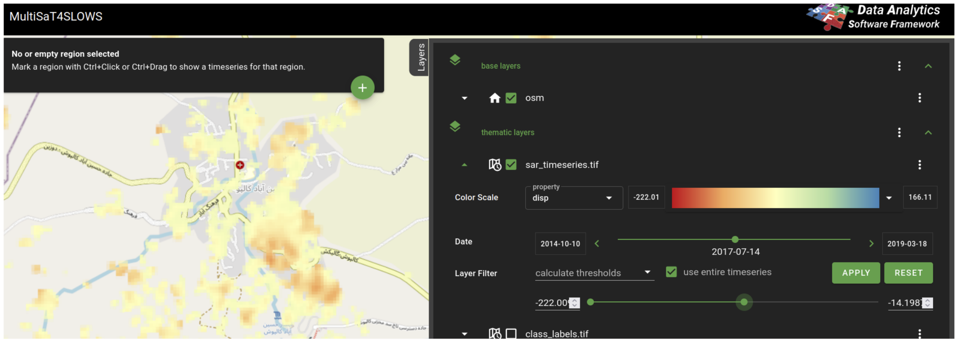
MultiSat4Slows in Helmholtz Imaging CONNECT:
Expert
Helmholtz Imaging Support
Helmholtz Imaging offers support for any imaging challenge, independent of the modality.
If you do not find the expert here you are looking for, please don't hesitate to contact us!
No application found.
No facility found.
No linked center found.
No instrument found.
No modality found.
No lab found.